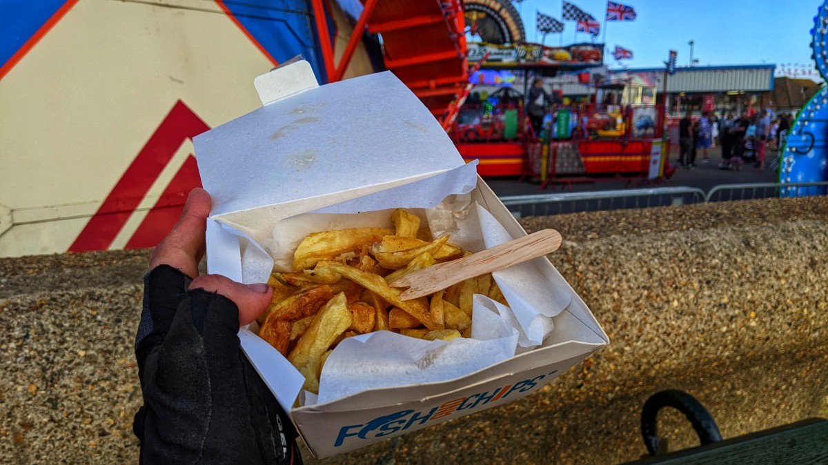
What turned out to be my final day of riding, started windy, overcast and cold. On went both arm and knee warmers, plus my waterproof cap, before the short ride into Castle Arce to stock up at the SPAR. Thankfully they were open, and had savoury vegetarian options, plus all those big flapjacks covered in icing and yoghurt and what not. I used up the last of my High5 Zero hydration tablets, which was worrying, as I knew I'd need to fill up at least once more. The weather sort of started improving at this point, at leats enough that I removed my knee warmers and waterproof cap.
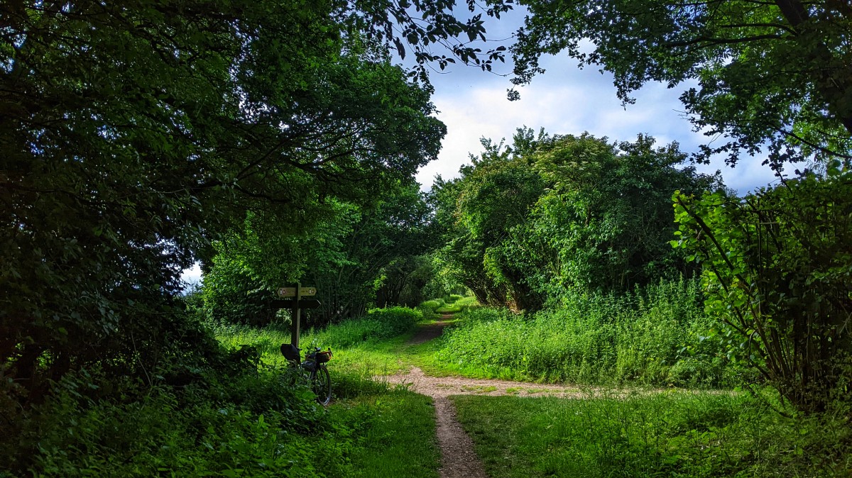
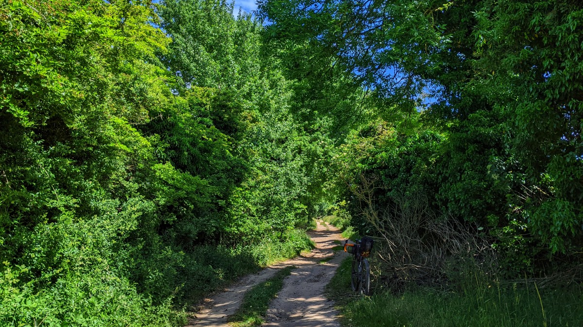
The Peddar's Way isn't difficult, there's nothing particularly technical, or challenging, anywhere along it. It does feature quite a bit of road, which I can remember finding frustrating last time I rode it. Riding routes again, always seem quicker than the first time, so I was at the services on the Swaffham Road in no time, and breezed straight by.
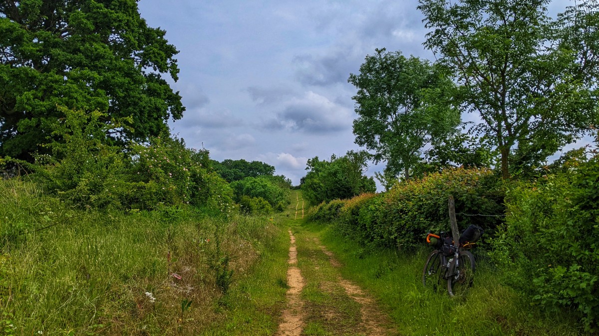
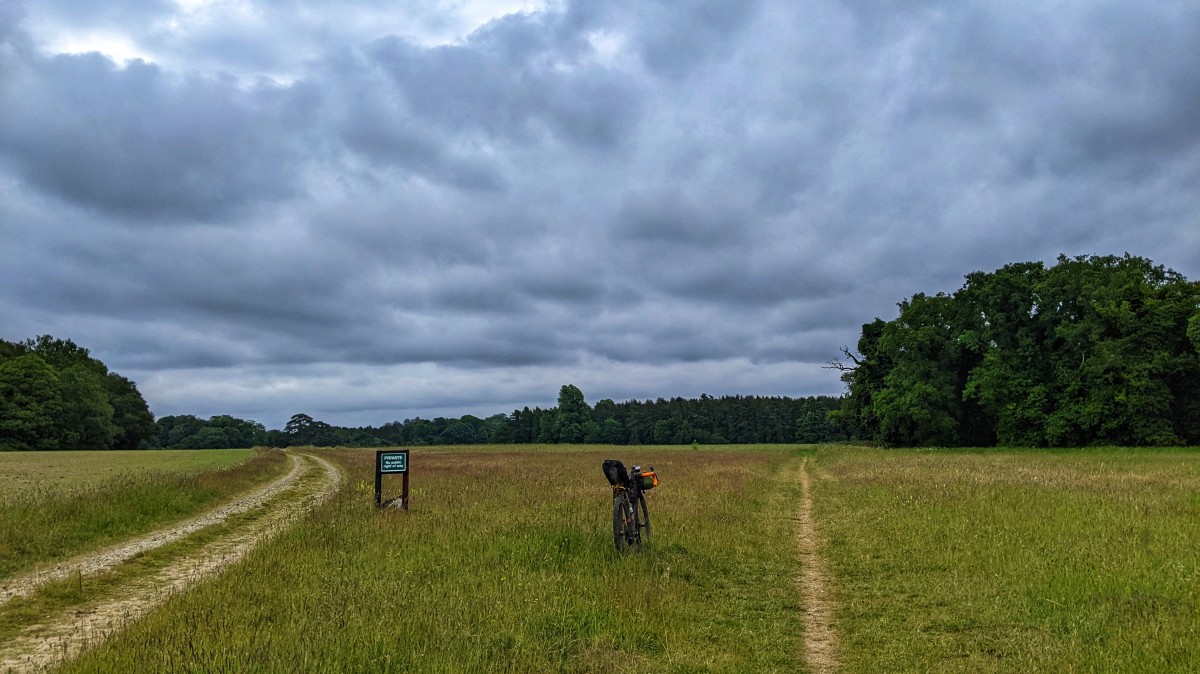
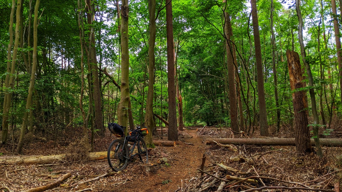
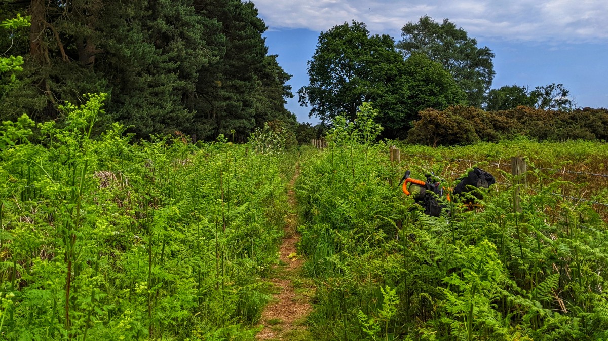
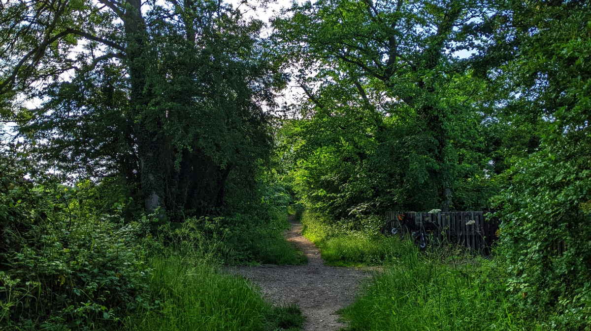
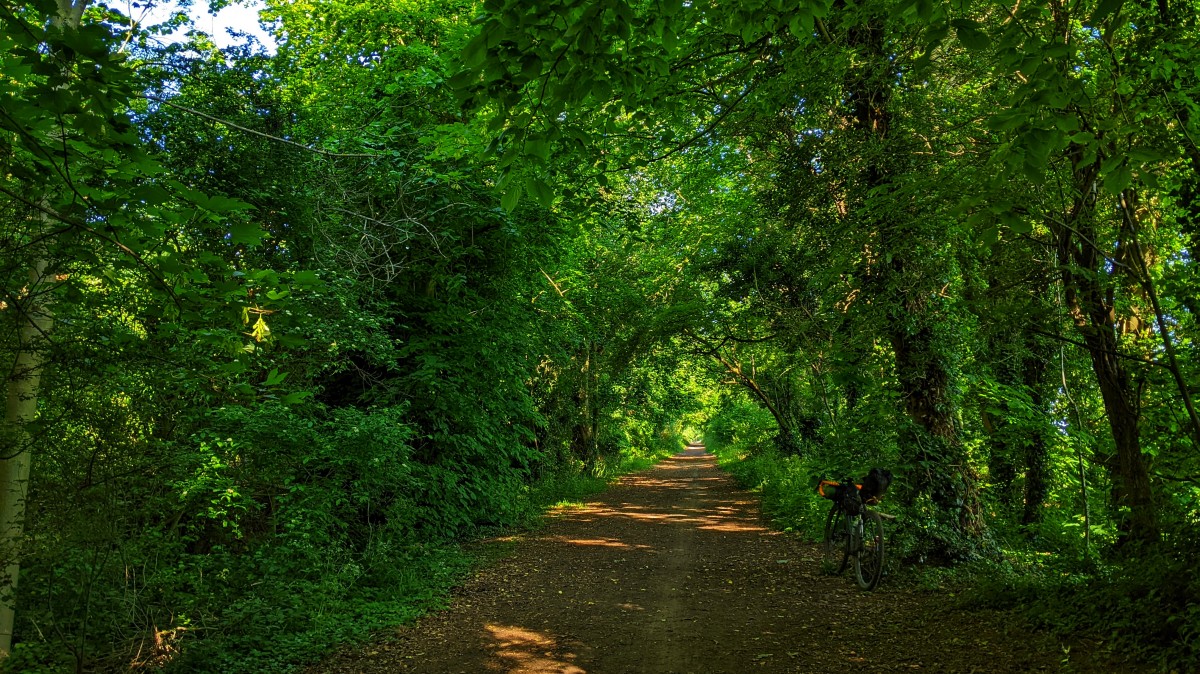
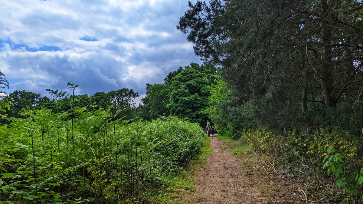
While I remembered most of the route, certain bits I'd forgotten about, like this bit, which I thought would make a good area to bivy near last time I was here. There's a house too close to the meadow area, and the woods were thick with bracken and other bulky undergrowth. Plus there's the small matter of the Stanford Military Training Area too, so maybe not the best place for a bivy after all.
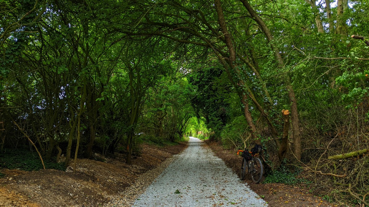
Near the end of the Peddar's Way, I stared to feel the previous two days riding, with the legs feeling pretty dead and the saddle / arse interface feeling pretty tender. Most of all though, it was my wrists, not my actual wrists though, more like the tendons running between my hands and my wrists. Can you give yourself Carpal Tunnel Syndrome from riding off road...? I was quite pleased to see that a bit I remembers as being a muddy rutted mess had been sanitized, probably a bit too much, but at least the wrists got a bit of a break.
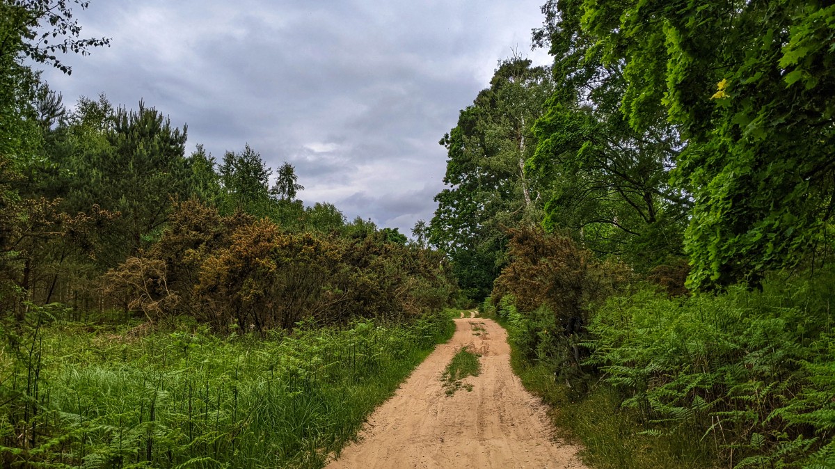
Just before the last section of the Peddar's Way, the route turns and spears off West, skirting well above Thetford. I was initially annoyed about this, as I though it should take everyone down the Icknield Way passed Euston and onto what is essentially a beach masquerading as a byway. I needn't have worried though, as the gravel track the routes follows soon ran out, and was replaced by a classic soft Breckland sand. It was hard going, mostly as it was bone dry, but getting covered in dust by a couple of passing MX'ers didn't help matters.
Once the sand finishes, it's more road, even though there are plenty of fire roads and tracks through the forest. Once the route reaches
Thetford Power Station, it takes in a load of singletrack, which I felt was wildly out of character with everything up to this point. It's not like it's heavily used singletrack either, with the odd branch down over the track, plus pine cones everywhere. Following the GPX trace was pretty impossible too, as there's been works and diversions, and my GPS was blaring at me constantly for going
off route. In the end I just ignored the GPS and rode what was in front of me, which mean that I blasted right past the turn to head for
St Helen's Picnic Site.
Note, don't be relying on the fact that Open Street Map says there's toilets and a tap here. I passed a couple of weekends before and the toilets were all boarded up, and the tap had been removed. Not to worry though, if you follow the actual route, you're heading for the trails around High Lodge, which has a cafe, bike shop, toilets and an outside tap.
I decided to leave the official route behind at this point and head back out into the fens. When I'd been this way a few weekends before, the lack of tap at St Helen's picnic site had left me, with what I thought, was no option but to head for High Lodge. Given that I was so far ahead of time and had plenty of liquid left, I decided to pick up the rest of that days route. So it was off up, down and across various tracks through the forest, some of which were actual byways, some of which I wished were byways. I went passed a pig farm at one point, and had to cycle down the grass verge next to the track, as it was so sandy it was borderline impossible to cycle on. I'm not sure what it is about this area, but any track that happens to be next to a pig farm is a total nightmare.
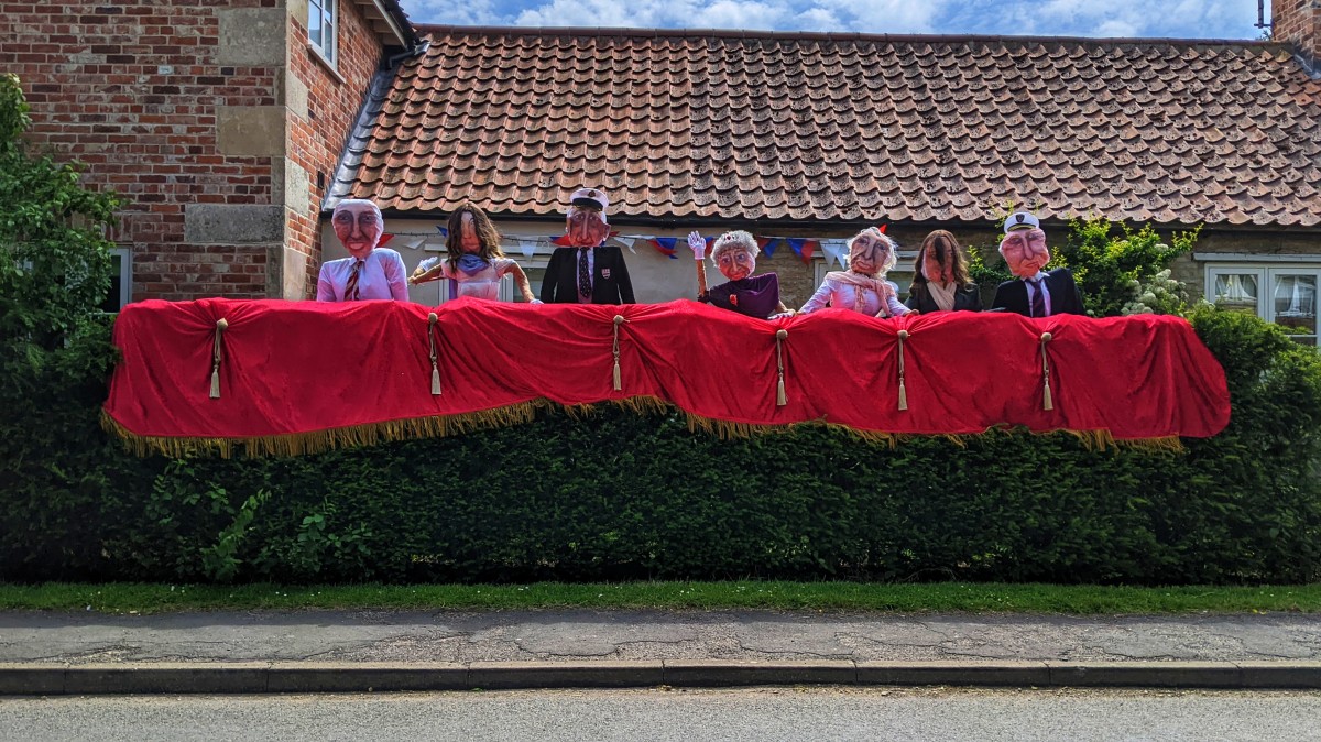
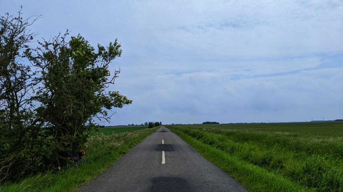
Once the forest was dispensed with, it was some back roads into Feltwell, passed clouds of pungent ganga smoke courtesy of a couple of yoof in a parked car. Feltwell must've has some sort of Jubilee thing going on, as loads of people were lining the streets waiting on something, I felt like a pro cyclist as I shot through with the help of the stiff wind on my back; except no-one was cheering me on. I did notice both a One Stop and a Londis, as I sped passed, so there are options for water and food if you time it right; wish I'd know that a few weeks before.
Once you turn off the main road and over a drain, you're onto what feels like some sort of private farm estate track, but it's a byway, not that there was a single sign indicating this. Similarly, when you hit Harrowden Turf, the concrete road turns into a bridleway, not that you'd know it. You feel like you're in the middle of no where, then a small collection of estate houses will appear, so there's always the potential for bumping into lorries, tractors and cars. Which is a shame, as a turf farm in the fens, shirley the ultimate BaM location for pitching your tent...
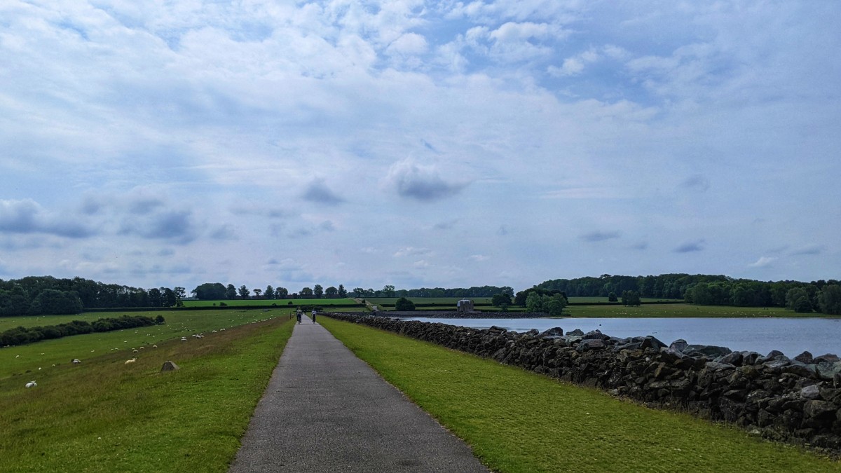
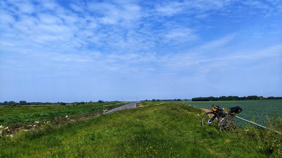
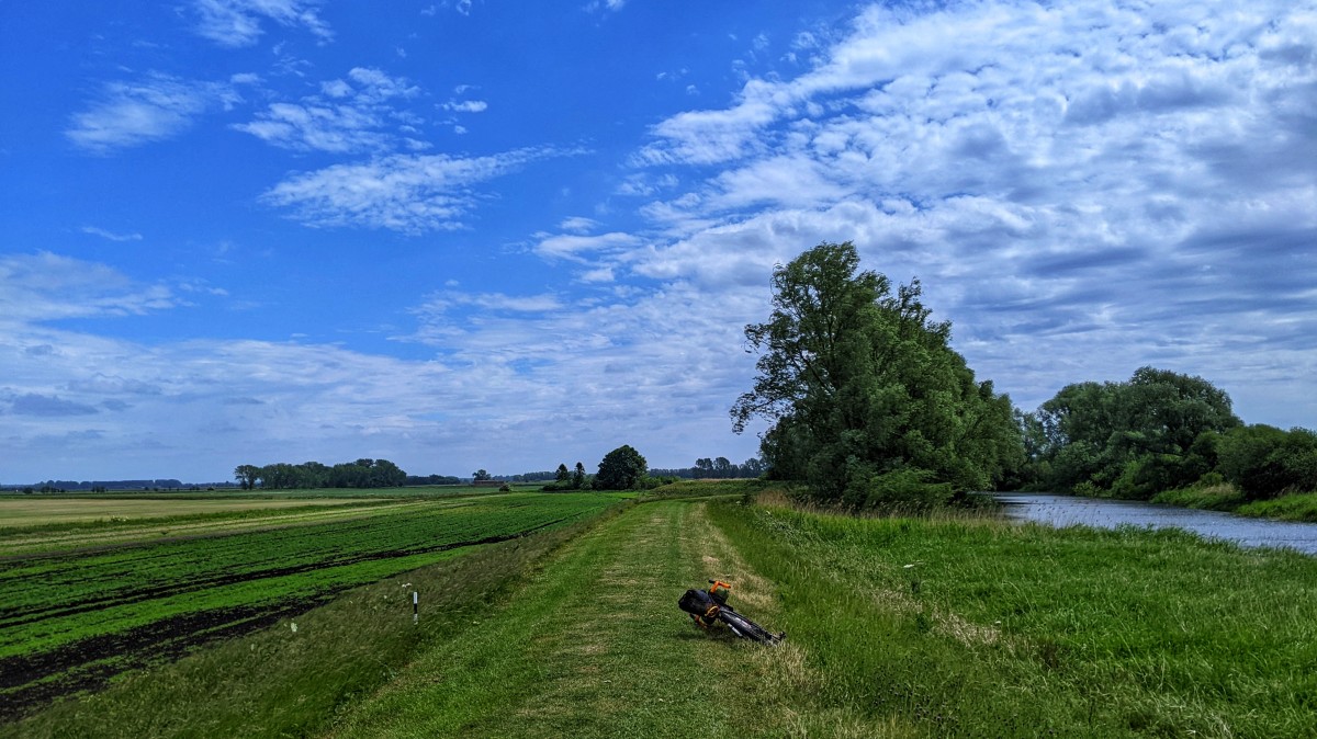
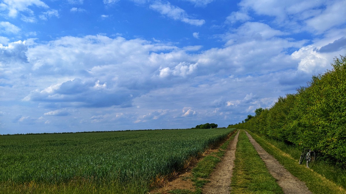
It was time to head back towards Brandon, along the top of another fen land dyke, which also meant heading back into the wind. I don't know why I keep going back and riding along these dykes, I absolutely hate it at the time. There must be something that's drawing me back time and time again though, maybe it's riding alongside water, or the lack of other people, I don't know. Going to have to seriously consider a suspension stem, or Lauf fork, if I want to keep on riding them though.
The main reason for looping out into the fens, was to try and get to Chalk Road, which is a byway that leads into / out of Brandon. On my
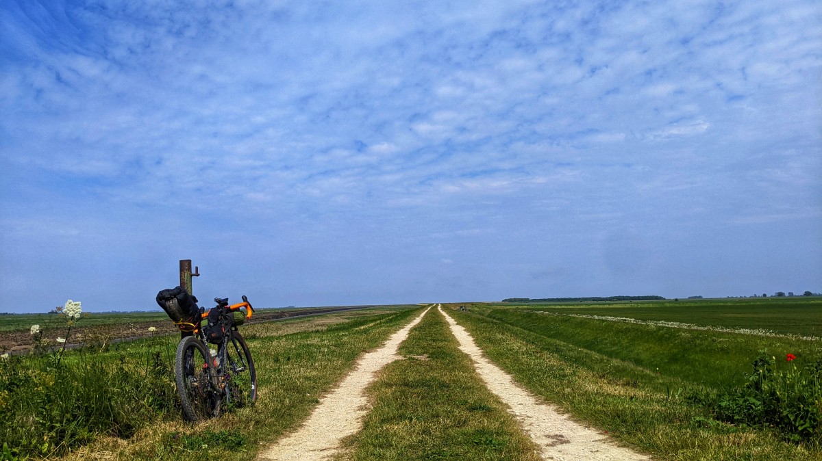
September 2020 BaM ride, while trying to fight my way along a bridleway on the North bank of the Little Ouse, a lady suggested I'd have been better off on Chalk Road, its taken till now to get back and try it. I almost wish I hadn't bothered, as unlike Cowle's Drove on the other side of the B1112, it's not beautifully flat gravel. Instead it's a combination of sand, gravel, stones, flint and potholes, so progress was haphazard due to being thrown around trying to avoid most of the hazards. On the way into Brandon, the byway splits, I took the right hand turn, which was a mistake, as the surface just turned into sand and progress became glacial once more; I nearly lost it a couple of times as the front wheel bogged down and wandered off in a direction all of it's own choosing. Still preferable to riding the top of the dyke on the other side of the river though.
After a quick stop at Brandon Tesco to get more water, it was off through the Country Park to pick up the F U R T H E R East route again, where it tracks the Icknield Way for a bit. The skies cleared at this point, and what had been an overcast, cloudy type of day, suddenly turned into an absolute scorcher. I was suddenly wishing I'd remembered to buy a travel sun cream in Tesco, the tan lines were impressive at the end of the day.
I love cycling this way down through Deadman's Grave. It's open access land, but closed to anything but the byway in the summer months due to ground nesting birds. The 4x4 drivers haven't been sticking to the sandy double track, as a new set of parallel tyre markings are now visible in the grass. I fully appreciate that 4x4's and MX'ers need to pass in opposite directions, but this has the feel of people who are driving the entire way on the grass, as it's easier than in the sand.
After a bit of a byway detour into and straight back out of Red Lodge, I popped out at Pheonix Cycleworks, where a new shared use pavement has been put in, meaning you don't have to take you life in your hands with all the speeding drivers trying to get onto and off the A14. I didn't stop, as I had enough food and water to make it home. Deciding that I hadn't quite had enough of a battering, I left the F U R T H E R East route behind, and decided to head out onto some of the byways and bridleways I cycle on regularly.
Time was getting on, I was flagging and everything hurt. I was finding that I was standing up more, trying to give my arse a rest, any sort of incline was now taken in the largest cogs at the back, as I slowly winched myself up stuff I normally batter along without thinking. For some reason I choose pretty much all of the bumpiest, horse hoof chewed up bridleways, :muppet:.
I txt'd my wife suggesting we meet at the village pub for a drink, partly as I wanted a drink, but also partly to make me stop, as I could see I was getting close to, but wouldn't broach 700KM. Without the carrot of the pub, I'd likely have looped off somewhere else to find those extra kilometers. So the final bit of byway done, the final bit of road done, I wobbled into the pub garden. The beer was average at best, but after 690KM over three days, it was exactly what I needed.
There are theories at the bottom of my jargon.

 I know there's "nicer" ways to get around Cambridge, for instance, so I imagine there's a nicer way to get passed Bedford, which is just horrible to cycle through. With this kind of thing in mind, I picked up the Chisholm Trail through Cambridge and was nearly flattened by an inattentive arsehole in the station car park, so much for a nicer, quieter, less stressful way through Cambridge...
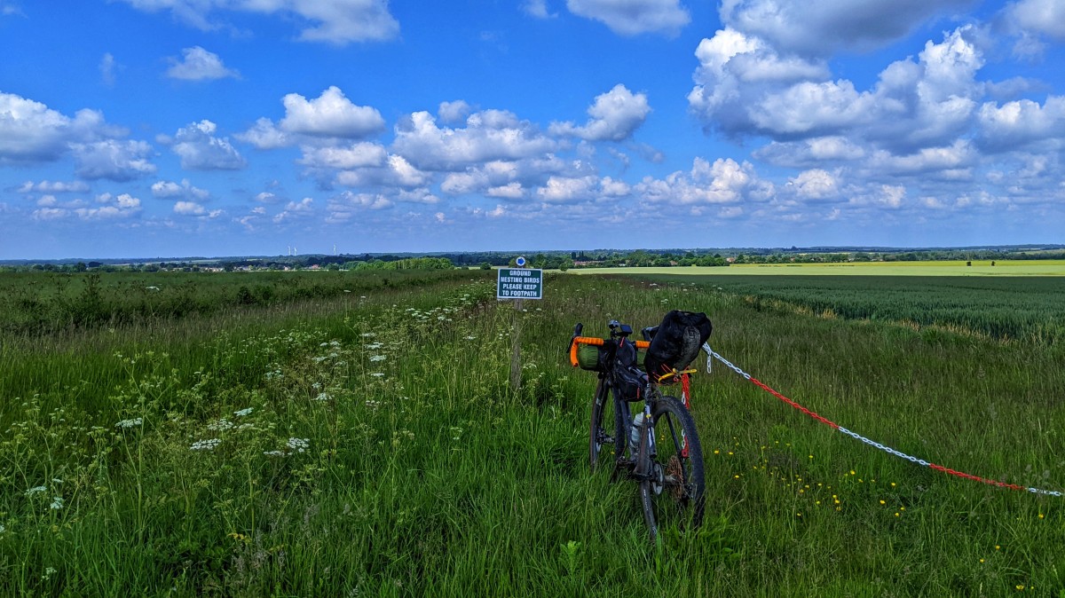
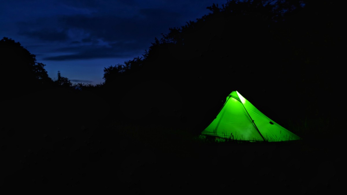
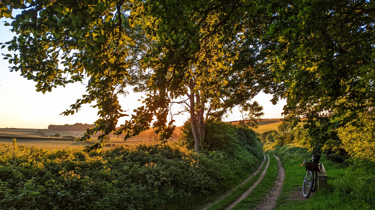
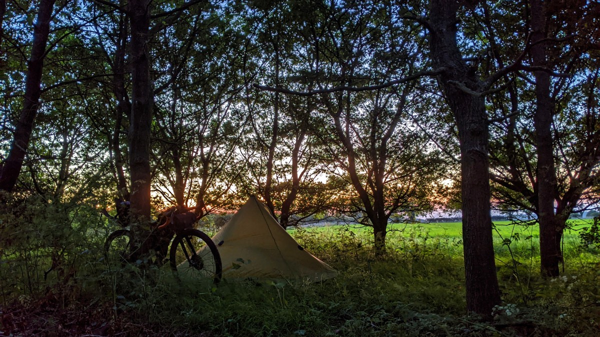
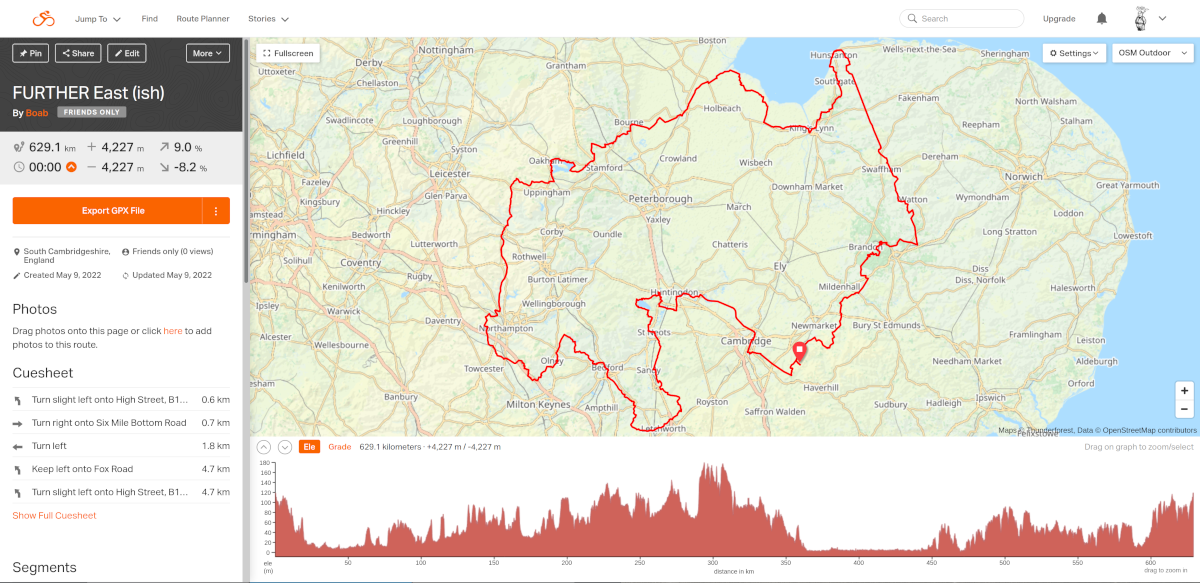
 I couldn't be arse moving, as it had taken a while to find this spot, so I just got the tent up and settled down with a jackfruit burrito and premixed G&T. Not necessarily my longest day in the saddle, but by far and away the furthest distance I've ever covered in a day, at somewhere around 277KM.