Back in the good old days when you could leave the house without worrying about catching a deadly disease or getting lamped trying to buy a bag of pasta (i.e. last week), I set out to ride the Sandstone Way. I thought I'd share some thoughts and pictures, in case anyone is thinking about whether they should do it or not (spoiler alert: not).
To cut a long story short, I did not have a nice time. I'm normally a sucker for a bit of two-wheeled masochism (as plenty of people who've ridden/pushed with me will tell you), and I'll generally take good old-fashioned XC over this poncing about on glorified road bikes (sorry) but after two hours of the SW I'd have given my left crank arm for a gravel fire road. A friend summed it up well when he commented that the route is too contrived to avoid (mostly deserted) roads.
Granted, the end of a wet winter is not the best time to do it, but I can't imagine it's a lot more fun in summer. The southern section particularly is mostly through enclosed farmland, on paths and tracks churned up by sheep or tractors or both, with the odd slog through grassy bog.

Anyway, I started from Hexham about 8.30 Tuesday morning. I'd planned to start Monday evening and get a bit done before stopping for night and finishing Tuesday night, but the forecast was bad and given the rain in town I'm pretty glad I didn't. The forecast was for rain early on but clearing up by midday. It didn't. Admittedly this didn't help with the overall experience.
Now, many people who have ridden the SW have mentioned the number of gates, so I can't claim to be surprised. I thought a good way to distract myself from the pissing rain and pushing my bike through ankle deep sheep sub standard would be to count them. I made 33 in the first 20 miles to Bellingham. I stopped counting at 40 when I finally decided to stop religiously following the route and started taking road diversions.

It was the middle of the afternoon before I got to Rothbury, soaked and covered in poor show, literally, (not even a visit to Tomlinson's to look forward to anymore) so I decided to cut out the carriage drive (shame, it's a nice ride, but I've done it loads of times) and the loop up Coquetdale to Alwinton (mostly road) in favour of getting to Wooler before the pubs shut.

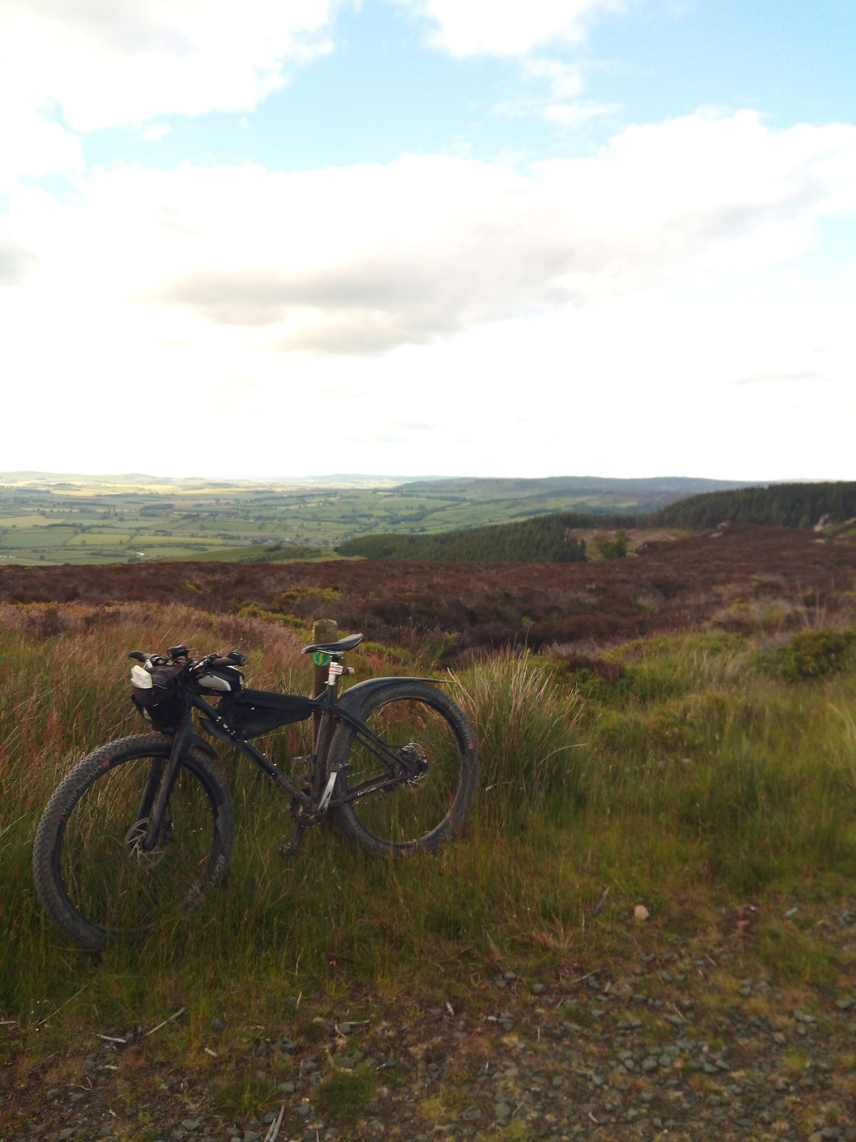
The track over from the Aln valley to the Breamish valley between Prendwick and Ingram is the sort of riding this route desperately needs more of - challenging, semi-technical climbing, but rideable, and big open skies. From there to Wooler is quiet road and byway - decent riding, but hardly the finest mountain biking.

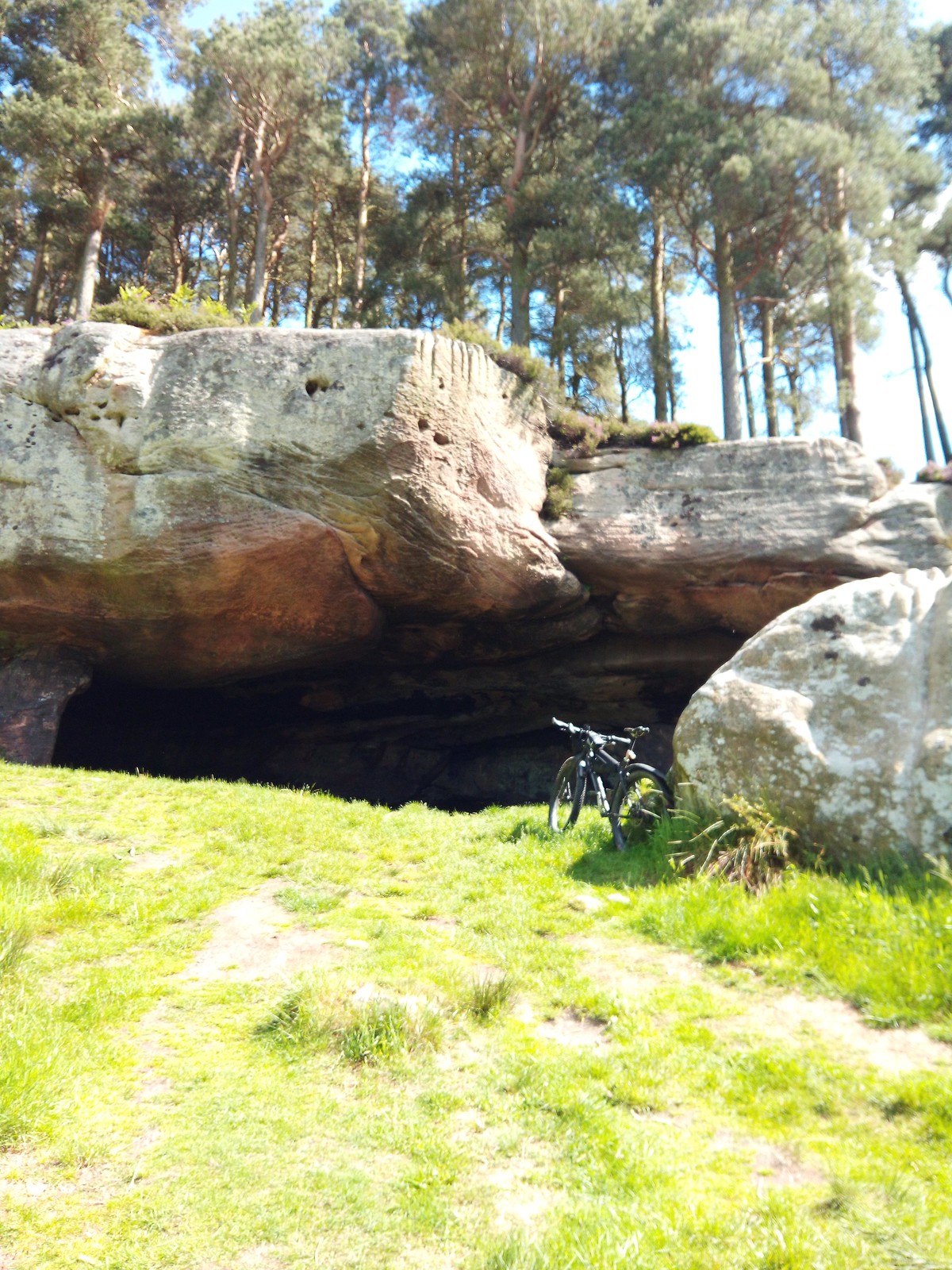
After some food in the Black Bull in Wooler I headed out to St. Cuthbert's Cave to bivvy. I'd forgotten how much I like riding at night under clear skies. I'd regained some trust in the route and followed it along the byway towards Chillingham. It turned out to be a decent track mostly, and I didn't run into any cows in the dark!

The morning promised 20 miles or so of fairly flat coastal riding, mainly on the Coast and Castles route, so should have been fairly quick even with unfavourable winds. However, the route had lulled me into a false sense of security and I made the mistake of following it down a bridleway against my better judgement. This summed the whole route up for me: to avoid 800m of tarmac (yes I measured it), it chooses a 500m path with 4 gates, a climb through some brambles, and a churned up field of mud with 3 frisky horses which pinned me in one corner and then chased me to the other side.

I don't think I'll be returning to the Sandstone Way anytime soon, which is a real shame because I love this general sort of riding, and I love Northumberland. Credit to the planners for all the work that's gone into planning, signing, and promoting the route, but I just can't imagine many people doing this and wanting to come back to the area to ride a mountain bike. If I wanted to put someone off mountain biking for life, this is exactly the sort of ride I'd take them on.
All this begs the question, "how would you do it then?" I like the concept of a route to show off the variety of landscapes we have in Northumberland - pastoral farmland, open moor, forest, big coastal skies - and I like the idea of roughly following the Great Whin Sill from the Tyne to the Tweed. But I think given the route options, and the popularity of gravel riding, that sort of route would make a lot more sense. Need to spend some time with the maps, and, when this virus has done one, recce-ing. Watch this space.