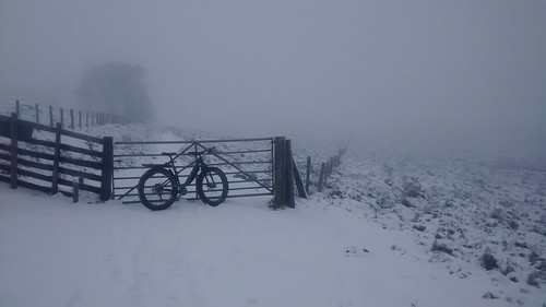
Went for a bit of a cheeky ride today. There's a hill to the south of us that has no bridleways and the estate are one of those that isn't happy about any public access even though the land comes under CRoW. Looking at Strava heatmap it seems like more than a few folk had ridden over it so with a bit of snow having fallen yesterday and the clag right down I set off.
I took the Pennine Bridleway to meet the Widdop road then up the steep part of this where I met a bunch of roadies - I don't know who was dafter: them for being out on snowy roads or me about to head in to the mirk. Anyway I set off up the one track leading to the hill which worryingly had one set of quad bike tracks in the snow. Was I going to meet the farmer and have my plans scuppered?
Fortunately the tracks turned off so I was definitely on my own. A quick break at the end of the track and to sort my bearings out.

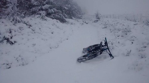
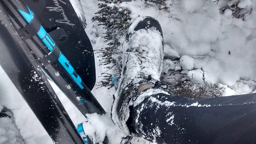
One small beck to cross which involved a bit of pushing up the steep bank on the other side then I could ride most of the path as what would normally be bog was now frozen, well almost - there was the occasional "crack!". Slowly the path steepened and I had to push then carry the bike to get to the summit ridge. Yesterday's snow had built up on the fence (this type of build-up is always on the windward side of objects)

The summit ridge was great moorland riding, everything was frozen so the normally boggy areas were just plain sailing. The summit trig point came and went but now there were a set of footprints in the snow and the path was marked with regular little red flags stuck in to the ground, possibly marking out a fell race but I'm not sure.
I knew from the map and from Strava heat map that there were two descents but the first dropped to a farm. All I remembered about the second was that one of the segments had "grassy" in its name. The flags headed down the first so backtrack a bit and hopefully pick up a track to lead me to the second. Some suspiciously straight lines in the vegetation showed where people had ridden before and soon enough I was heading downhill on a grassy track. Steep enough at first that my back wheel would lock up under the slightest braking. A few minutes and I was out of the thickest clag and could see the PBW again.
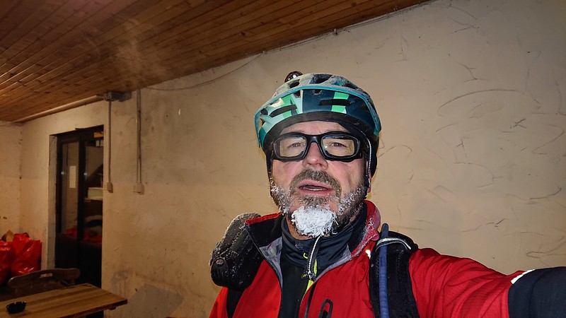
Back along this then some road work heading in to the wind to get to the next bit of cheeky riding. Fortunately the cafe just before this was open so time to warm up by their fire :D The next bit of track is part of the Pennine Way, I've ridden it before but not under snow. Some of it is flagged but there's quite a mixture of surfaces from easy grass to nadgery rocky moorland track so it's

This is a shooting hut, unfortunately locked so no use as a potential bivy


This is one of several other huts near the shooting hut - it's just over the skyline. You can just make out a couple more in the mirk. I originally thought these were also shooting huts but about ten years ago when I was running over here on one of my training runs there was someone at this one so I stopped and had a chat. It turns out that they were built by the local villagers as convalescent huts for soldiers from the first world war who'd been gassed, the air being much cleaner up on the moors than in the villages.

There's a section of super techy riding below these, not steep but it's almost hopping from boulder to boulder. Fine if your name is Chris Akrigg but for the rest of us it's easier to walk. Once off the moor I happened to go past a motorbike trials event and then it was road and a couple of short bridleways back home.