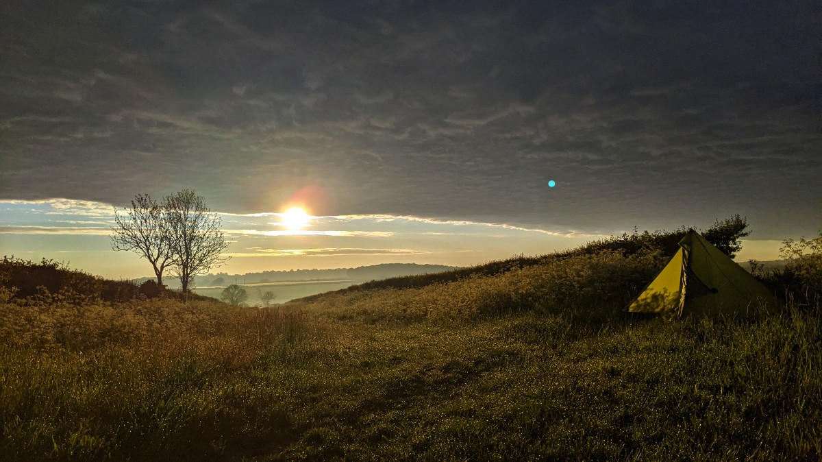
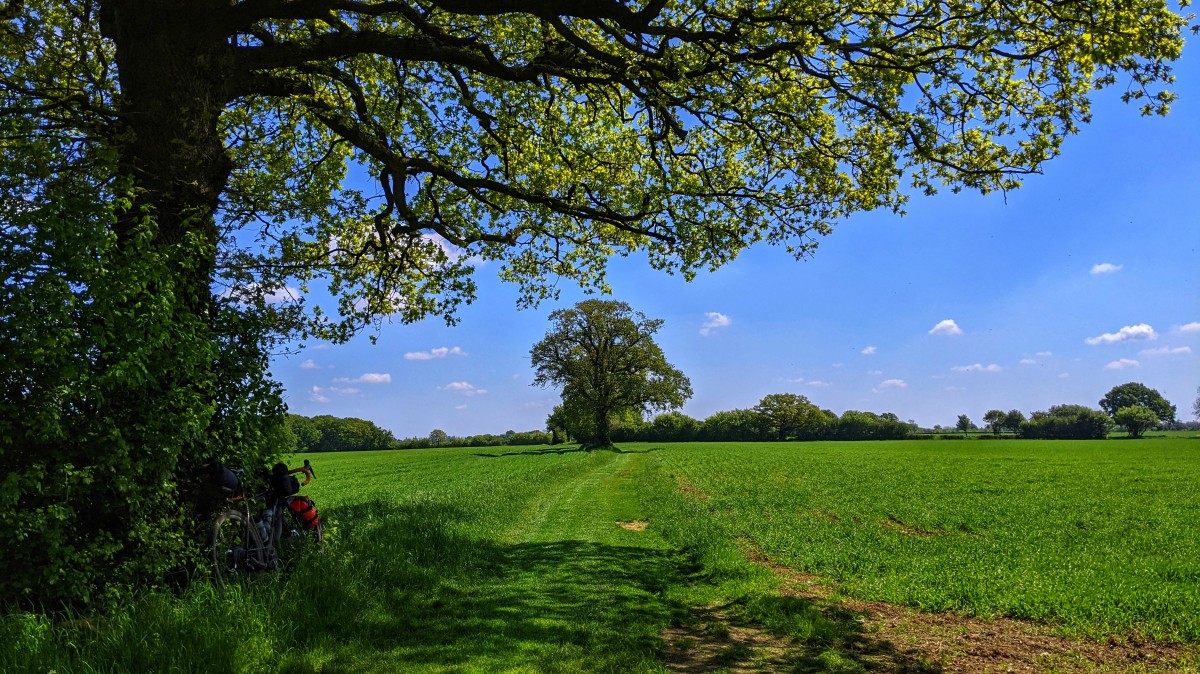
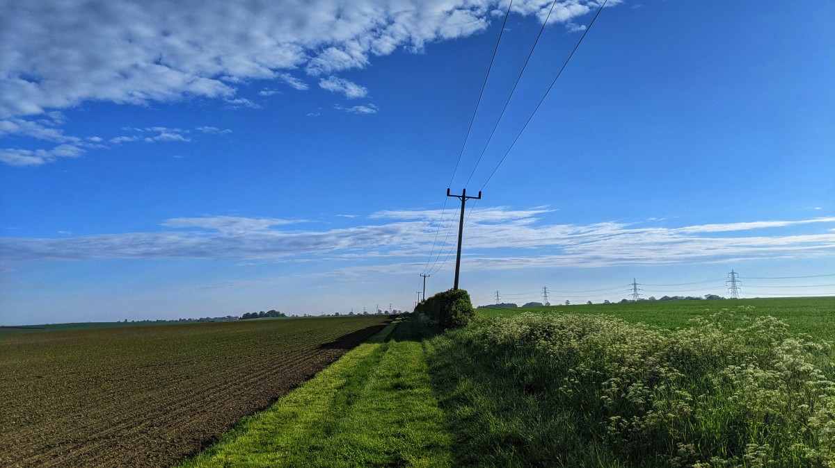
It seemed fitting to finally tick this off on WRT weekend, especially as the weather has finally broken and it was utterly glorious for the vast majority of the ride. It made for a nice change to wake up feeling rested, with the sun illuminating the tent with a golden green. Each blade of grass was heavy with dew, and the barley fields were shimmering in the low sun.
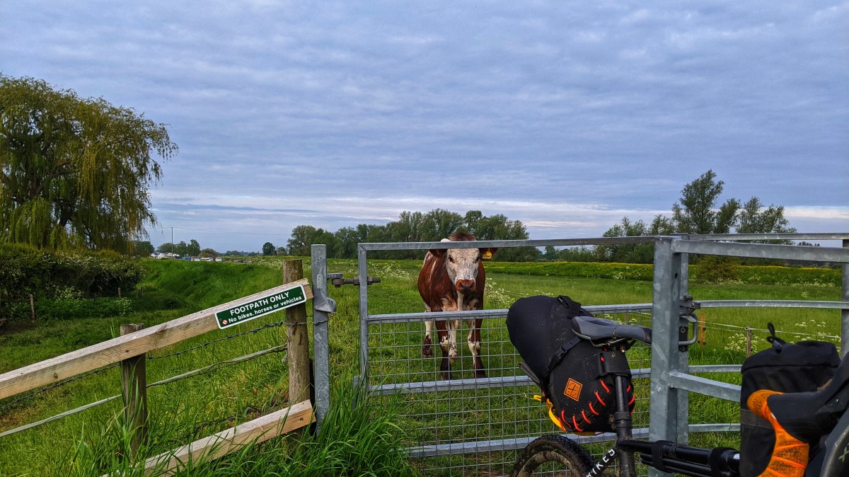
We'll get to the route and grid refs shortly, but even the appearance of the Spawn of Satan on a short section of footpath did nothing to dampen the mood. Interesting to see they've stuck up some new signs, as there's been no livestock in there in my memory.
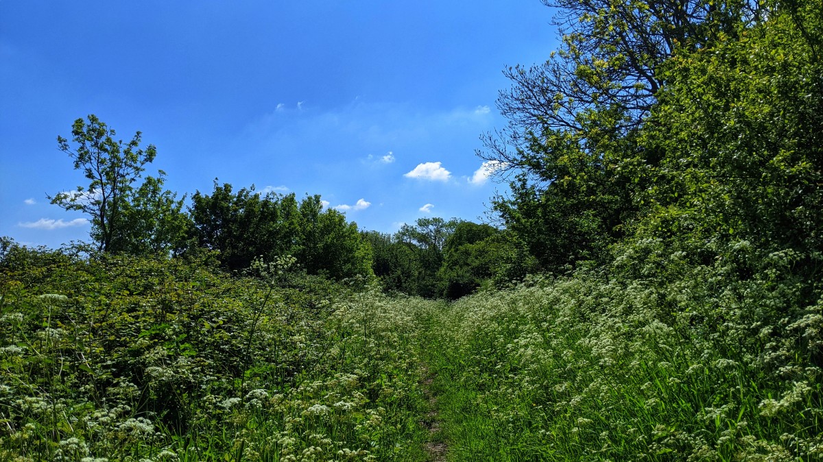
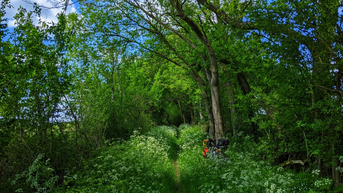
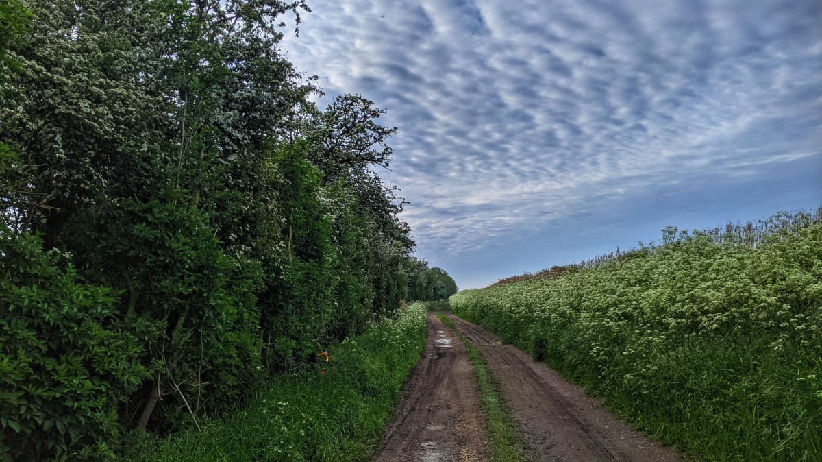
There was plenty of cow parsley.
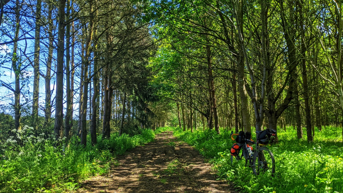
Some recently mowed byways.
Plenty of dappled shade.
Have I mentioned the cow parsley yet...?
So my grid references were provided by
middleagedmadness, and could be split into two rides if desired. As we're no longer having to camp in our gardens, I decided to do one big loop, with a wee diversion for more coffee and cake. I exported the grid references as a GPX, loaded it into RideWithGPS and plotted a route that would take me passed each one. As you can see, I didn't always take the photos at the exact spots an a couple of the grid ref markers are obscuring the photo locations as well.
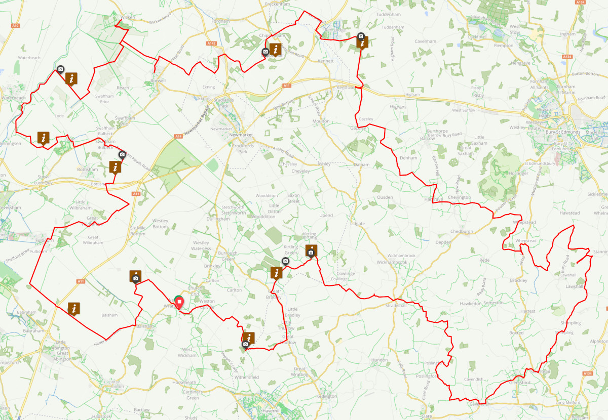
The first one was near home, next to the local wind farm, on private land which with no public rights of way. I left the house as it was getting late, switched my lights off and cruised down some bumpy double track, passed the farm house, which was partially obscured behind some hedgerow, and up the other side to the required area. Then it was an easy cruise on Strade Bianche style wind farm gravel roads to exit the area and get back onto some public rights of way.
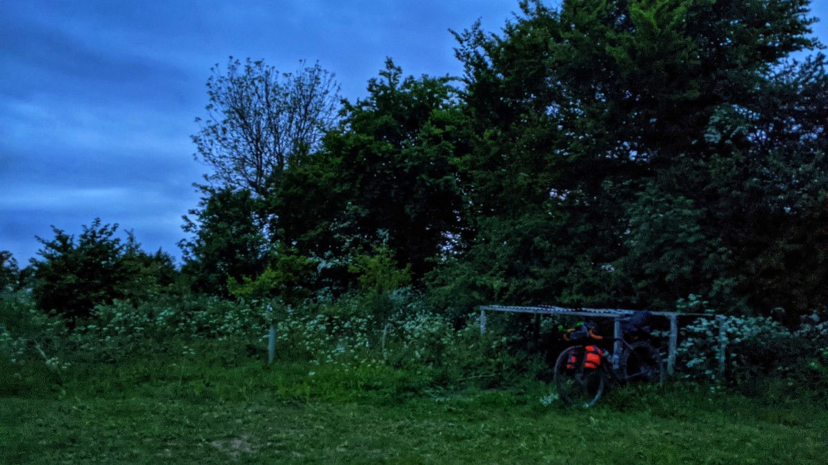
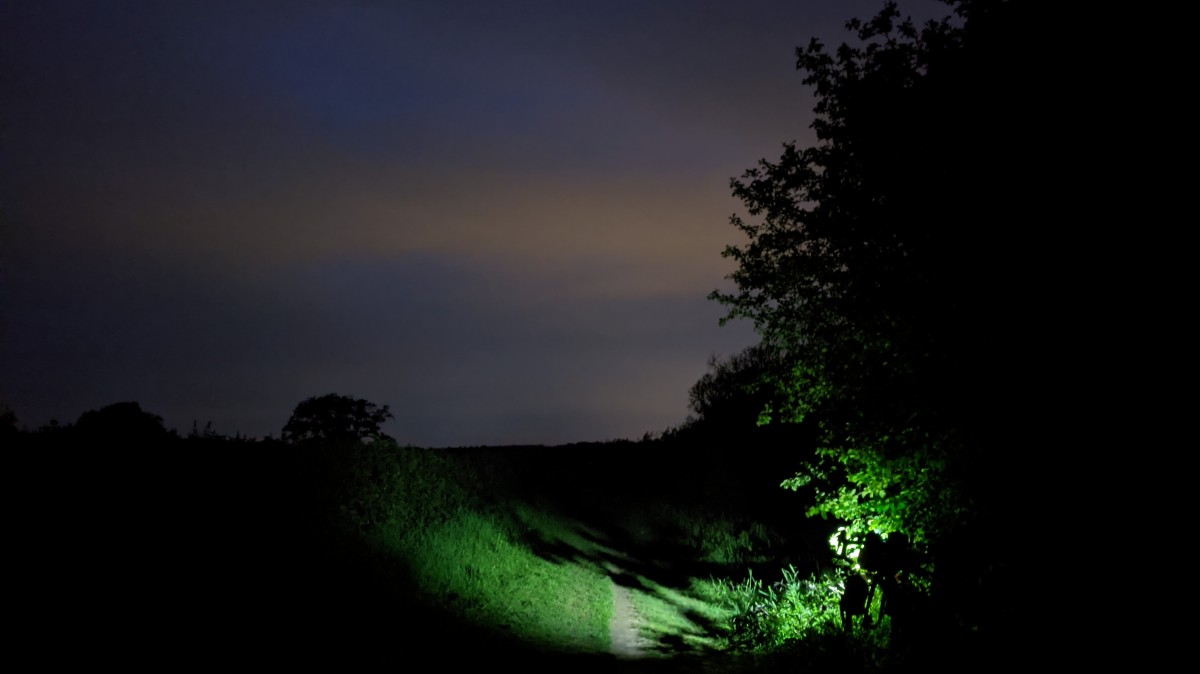
The second grid ref, was on Worsted Street Roman Road, which is a restricted byway that I cycle quite frequently. It was proper dark now, so this is all you're getting.
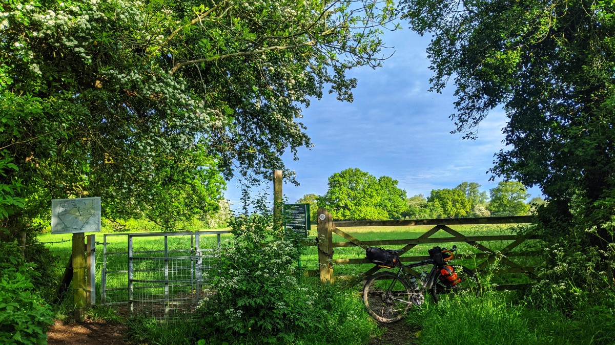
Soon after, I found a lovely bivy spot surrounded by loads of cow parsley, the only downside was the proximity to both the A14 and A11, so there was quite a bit of road noise. I must have been cream crackered though, as I dropped off pretty much instantly and woke feeling refreshed. I tossed and turned a bit after that, but when the tent started glowing a golden green, it was time to get up and get on with it. Breakfast consumed, the next grid ref was on a bridleway that takes me towards my in-laws village. It's a real leg sapper, as the grass is really grippy.
Grid ref four, was on a bridleway that I used to cycle frequently when commuting to and from Cambridge. I was once taken out by a dog a bit further along it. I haven't been down there in ages, so it was really nice to be back whizzing along it, and early enough that I only bumped into one dog walker, right at the end.
Grid ref five is another byway I've ridden loads. Depending on which way I cycle it, I'm either heading towards, or away, from the in-laws village. It a shame though, as it's one of those dead end jobs, with no other public rights of way available to cyclists. There is some footpath between the end of it and the lock complex at Waterbeach, which is one of the few footpaths I cycle regularly. Given the recent appearance of The Spawn of Satan, I can't see myself down there again for a while.
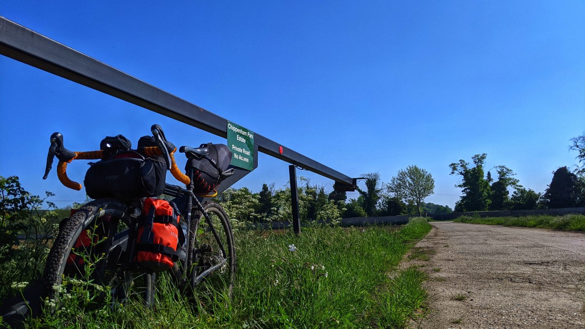
Rather than heading directly into Burwell and resupply at the Co-op, I diverted to
Wicken Fen NT to use the facilities, then headed back to the Co-op. Grid ref six is the only one I didn't actually attempt to visit. It's on a
private estate, with no public right of way access, so even though I could've whizzed down the gravel track passed the rear entrance, I stuck to the main road.
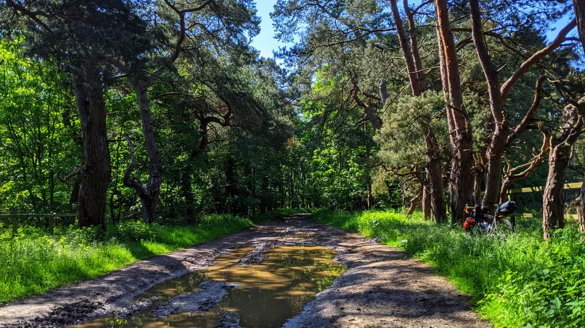
Grid ref seven was on the
Icknield Way and heading towards my first pit stop for coffee and cake, at
Phoenix Cycleworks. This sector is hideous when it's been wet, soft mud with loads of sandy gritty, you can hear it wearing away your drive train as you squelch along it.
At this point, I detoured off out into deepest Suffolk in search of more coffee and cake. Many bridleways and byways were ridden, coffee and cake was consumed, fellow riders waved at, bikepacking evangelised to interested parties; I was revelling in being outside, cycling in nice weather. Reality bites though, and soon enough it was time to head back and bag the last three grid refs.
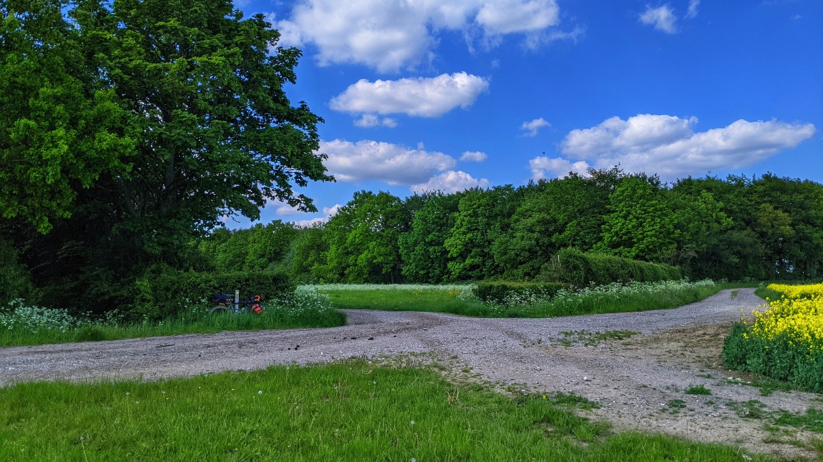
Now, this photo is at the start of one of my most travelled local bridleways, I still hold the Strava KOM in the other direction. It has been utterly, utterly, ruined over the winter, and even more so in the last couple of weeks. I think a local stud must be using it for gallops or something, as parts of it were wall to wall horse hoof churned up un-ridable (and a loaded gravel bike) slop.
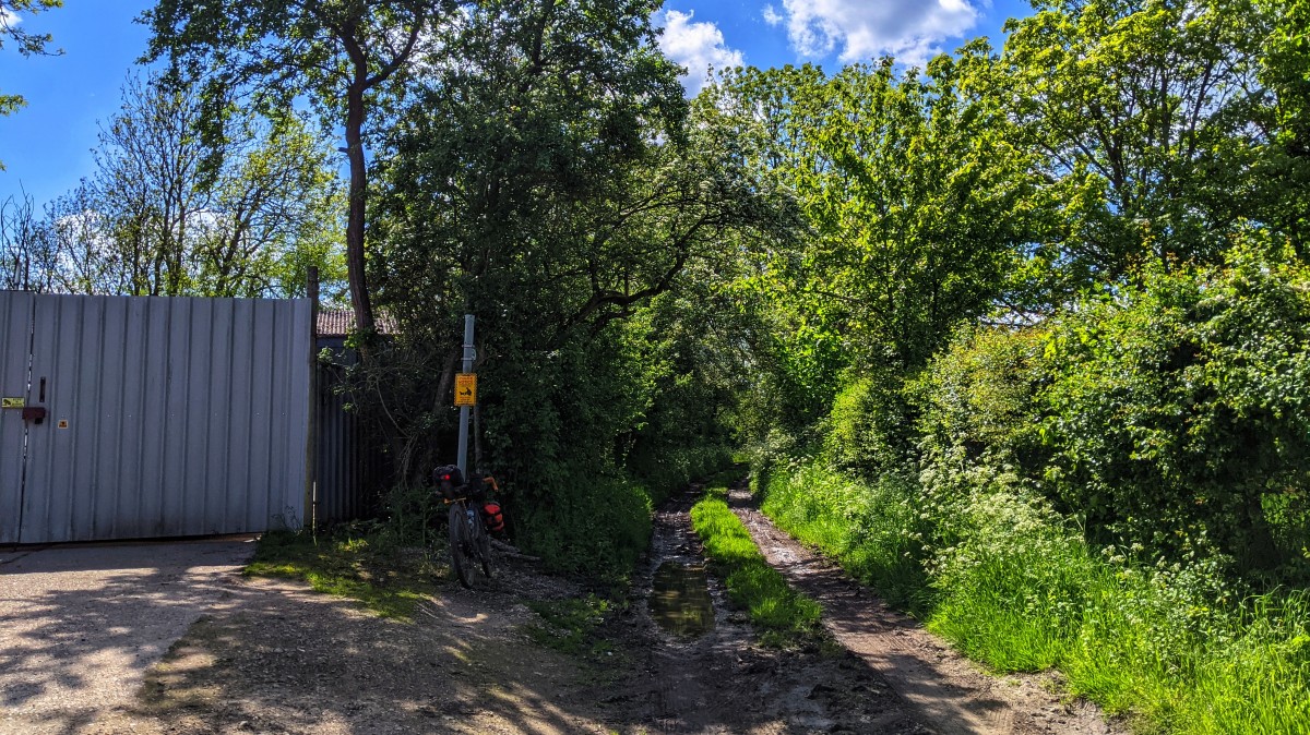
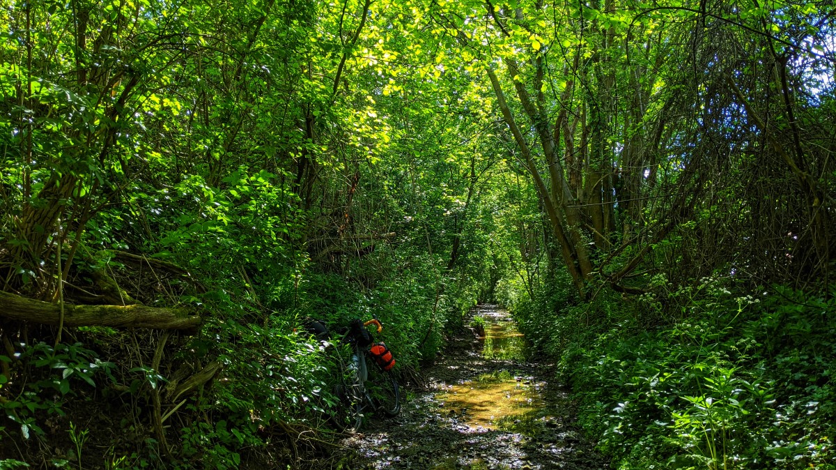
It didn't get any better after the slop, so I spent the next wee while cursing and swearing while bumping along the bridleway, which as this point is a field edge. It's recently been turned over and tilled, presumably for the horses, but it's been chopped up by them and the farmers tractor. I normally turn left at this point, and continue on the bridleway which turns into gravel double track, Grid ref nine straight on, along a footpath. I did that thing where you follow the line of the GPS, rather than using your brain, so turned sharp left, down what looked like a thin stony footpath, that had moto tyres tracks on it. This dropped me down onto a very stony, very wet, looking
path, enclosed on both sides by high verges. I couldn't get going, as every time I pushed off, the front wheel hit a massive stone and pinged off in the wrong direction. After a bit of walking, the stones turned to gravel but the wall to wall puddles remained. At this point, I was realising my mistake, and rather than being on a thin sinuous footpath alongside a stream, I was trying to cycle along the bottom of the stream. When the gravel ran out, and the walls started closing in and the mud started seeping into my shoes, it was time to exit up the six foot bank, through the nettles and onto the actual footpath. With lumpy field edges, kissing gates, trunks down over the path, and plenty of KEEP OUT signage, I can't see myself using this over the bridleway.
The final grid ref, was the one the was concerning me most. While technically on a public right of way, all the footpaths that snake though this area, are on a massive farm estate, with more than it's fair share of PRIVATE KEEP OUT signage. I've walked some of the footpaths, which are on fantastic gravel roads, and I did cycle one recently in preparation. This time though, I decided to exit down some roads that aren't footpaths, as they were the quickest way out. So of course, I immediately bumped into a lady on a horse, with a gentleman walking alongside her. Cue my best impersonation of someone who is totally and utterly lost. Profuse apologies, clear indication that I knew I shouldn't be there, then the plea for the fasted way out, to some local village whose name I couldn't quite remember. They were lovely, and gave me the exact directions to exit stage left, that I'd put into my GPS. I wont be back, as even if you stick to the footpath, you've got to go though a farm yard at one end, and passed a load of farm estate houses and yard at the other, such a shame, as it would make local riding easier.
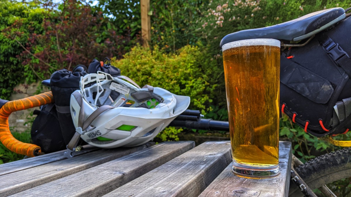
I finally rolled back into the village after 181km of riding totally spent, so I swung into the pub garden for some much needed refreshment. One of my best BAM rides ever, thanks in part to the fantastic weather, thanks for the grid refs
middleagedmadness!